Project Description

Warning!
Ridemontaione.com invites you to discover the trails of Montaione accompanied by a local expert guide, a service that you can book by staying at our bike friendly farmhouse Belmonte Vacanze.
Thanks to our local expert guides you can enjoy a cycling adventure in complete safety and without any risk.
The trails described on the site may become impassable due to vegetation or soil erosion, therefore we invite you
not to venture alone on the trails of Montaione without an expert guide.
We invite you not to trust GPS tracks that you can find on the web.
Riding a bicycle in an area that you do not know and on trails that you have never ridden by trusting a GPS track is dangerous.
Ridemontaione is not responsible for accidents that may occur while following the suggested routes.
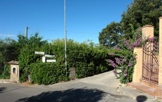
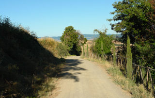
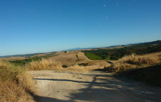
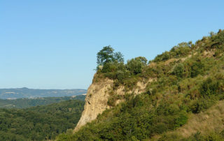
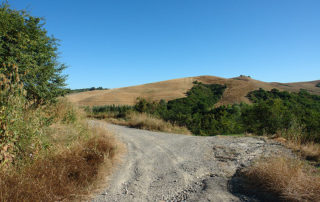
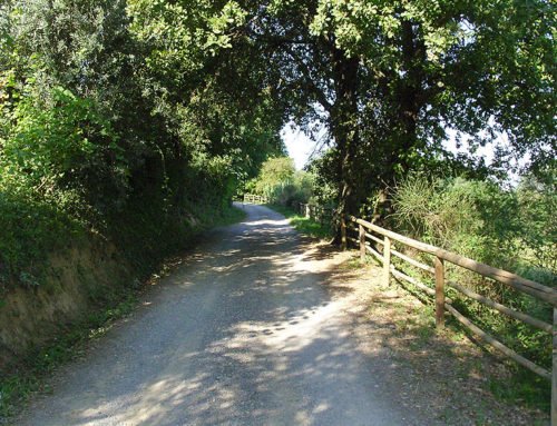
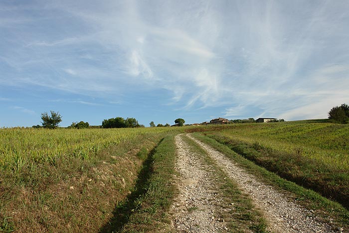
This route starts from the center of the small village of Iano. There you will enter in Via Costia. The first stretch of about 700 meters is of gravel road and inside the woods, then starts a nice descent. Here you will admire the beautiful scenery of the Tuscan hills that opens in front of you (on the left is even possible to see the hill overlooking the village of Volterra) and on the right you will see the “badlands” typical landslides characteristics of clay soils.
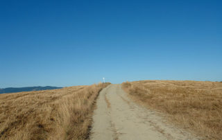
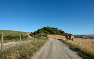
Then you will come to a house in “La Costia.” Continue on the road leaving the house on the right until you come to a junction where you turn left. At this point, the route alternates short ascents and descents, as you travel along the ridges of the hills, on a clay ground in Winter can be quite difficult because of the mud, while in Summer it is very dusty.
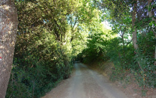
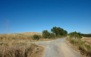
After about 1.5 km you will reach the first junction where you continue straight ahead. The ground of the route passes from clay and gravel always with slight ascents and descents. After about 100 meters there is another first junction where you must continue straight on. The road passes between low vegetation (bushes) for about 100/150 meters, then on the left you can see an abandoned house and go straight on. After about 300 meters there is another junction, and you have to keep to the right.
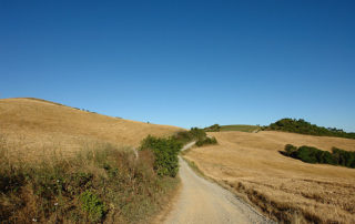
The path begins to go up slightly and then it is flat. At this point you will notice on the left side some woods and on the right some clay hills with in the background the village of Iano, your starting point. Go up slightly and after 500 meters go along a forest and then leave it on the right, after 300 meters, you will reach a house. Keep to the right leaving the house on the left. Here begins a descent on a clay ground. After 200 meters, keep left as if you wanted to go around the house. Continue your descent into the valley.
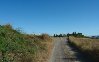
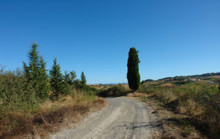
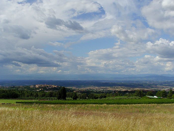
After 1 km downhill from the house you will come across another house that you leave on the left. You will then arrive at a junction where you turn right. Go down on a stony ground for about 500 meters until you cross a small bridge over the river Roglio. Then the road starts to go up slightly on a ground like a well-tread soil. After 400 meters continue to go up, on the right there is an abandoned building then after another 400 meters – at the end of a wide curve to the left – you can see on the left a small group of cypresses. Continue to go up and after 600 meters on the right you can see in the distance the village of Castelfalfi.
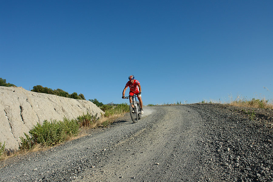
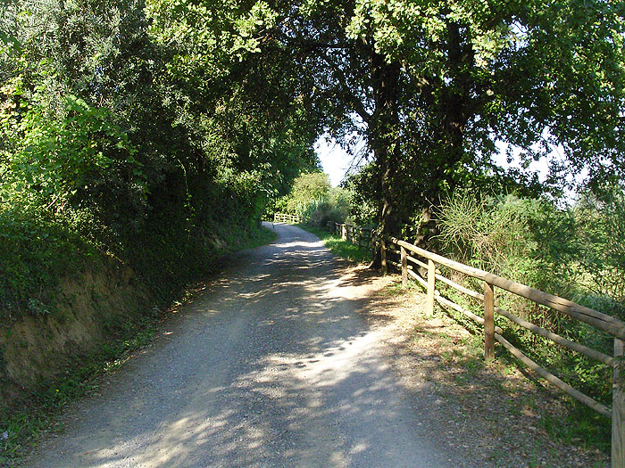
The road continues to go up, and suddenly, on the right you see a lone cypress. Then turn left and slightly downhill, here the road is slightly downhill as you can see in the distance a farm. After 800 meters, the road begins to go up slightly to the right you can see an abandoned building. After a few hundred meters – near a farm – you turn left, going past a gate you will enter in Via Poggetta. Here the gravel road widens, but has a ground which in Summer can be very dusty. Continue for about 2 km towards Castelfalfi going up until you reach the main road and then turn right. After 3/400 meters you will reach the village of Castelfalfi where it is worth making a short stop to visit the Romanesque church of San Floriano.
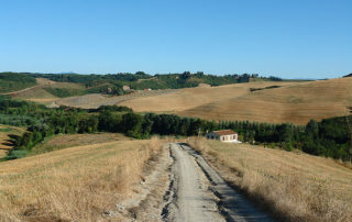
The road goes slightly uphill on asphalt towards San Vivaldo, until (after about 2 km) turns right. The first stretch of the road – about 280 meters – is downhill on asphalt, then gravelly for another 360 meters until you come to a junction near an old abandoned house that you will see on the left.
Leaving the road continue to the right, turn left, passing next to the cottage trying to catch a glimpse of the path down which in Spring and Summer could be hidden by the rapid growth of the grass. Continue down passing between two rows of olive trees up to, after 200 meters, a large tree Holm.
Continue for another 20 meters until you pass a small gate. You will see in front of you a big gate and a fence. Then turn left, leaving the fence on the right, and starting a very steep descent that will take you to the valley floor.
After about 340 meters, having reached the end of the descent, the road bends to the right. Continuing to follow the fence keeping it on your right, continue for another 110 meters until you notice a red and white sign on the fence. At this point turn left crossing a ditch and going through the woods. After crossing the ditch – you will see on the right on a tree the characteristic white and red sign – turn immediately right and continue for another 20 meters until you pass a small stream (Borro Stivaglia).
Turn left – always noticing the red and white signs – and you will start to go up. The first section is along this small stream, then turns sharply right and begins to go up. Here, the ascent is very hard because the path in the woods in addition to being steep and narrow, has a ground with numerous furrows dug by water in rainy periods. After about 110 mt of hard ascent, you will come to a path where you turn left. Here the ascent is less steep but it could be difficult because of the dense vegetation and tall grass.
Suddenly, the road goes out of the woods and makes a wide curve to the right. You continue to rise, until you see the steeple of Vignale. Here in the past – the first documents that guarantee the existence of these buildings date back to 1116 – stood the Castle of Vignale with the church, some houses and a mill. Fought over for centuries by some noble Tuscan families, came to be abandoned until the present day.
After catching some breath again and admiring the remains of the Castle of Vignale turn left continuing to go uphill on a path whose sandy ground will increase the fatigue on your legs. After 200 meters you will notice on the top left a farmhouse with cypress trees and a junction. Keep right and continue to ride on the main road. After about 500 meters you will come to a characteristic farmhouse, here, in addition to catch your breath in view of the last part of the ascent, looking back you can see in the distance the village of Castelfalfi and a fantastic view of the hills of the Tuscan countryside. Continue to go up the path alongside rows of olive trees, until you come to a fork of three roads. Take the path to the left that will take you, after a few hundred meters to the asphalt road to the village of Camporena where you turn right and downhill on an asphalt ground until you return to the starting point in the center of Iano.