Project Description
Warning!
Ridemontaione.com invites you to discover the trails of Montaione accompanied by a local expert guide, a service that you can book by staying at our bike friendly farmhouse Belmonte Vacanze.
Thanks to our local expert guides you can enjoy a cycling adventure in complete safety and without any risk.
The trails described on the site may become impassable due to vegetation or soil erosion, therefore we invite you
not to venture alone on the trails of Montaione without an expert guide.
We invite you not to trust GPS tracks that you can find on the web.
Riding a bicycle in an area that you do not know and on trails that you have never ridden by trusting a GPS track is dangerous.
Ridemontaione is not responsible for accidents that may occur while following the suggested routes.
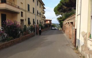
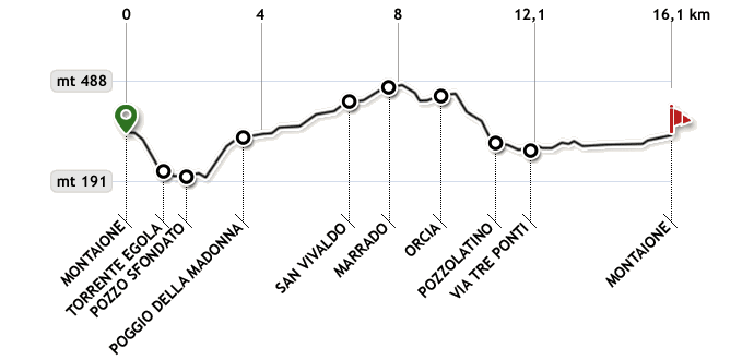
The starting point is in Montaione (Piazza Gramsci). From there go up towards the city center. After a few meters, at the stop sign, turn left into Viale Filicaja, a slightly downhill road.
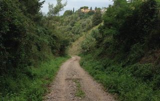
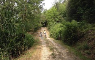
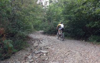
After about 60 meters, turn right in Via XXVIII Luglio. Continue on this road until it becomes a gravel road and go downhill, being very careful because the descent is very steep.
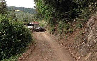
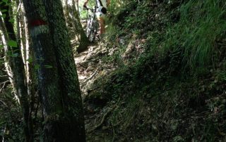
At the end of the first part of the descent (about 1 km), we reach a widening where you will come across a shed of farm equipment. Go straight on following the white/red signs on the trees.
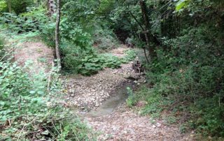
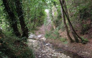
The trail continues downhill until you come to a small stream. Pass it and continue along it for about 200 meters until the path crosses the stream Egola.
After crossing the river Egola go on for about 30 meters until you come to a junction. Here we will take a detour to the left following a path that – going up the river Egola – will lead us to see a small gem known as the “Pozzo Sfondato” (Bottomless Well) and then we will go back and continue on the main path.
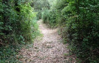
Then follow the path with the help of the red/white signs you can see on the trees. After a few tens of meters the route climbs up and meets a branch with two paths. Here it does not matter which path you take, since both lead to “Pozzo Sfondato.”
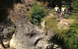
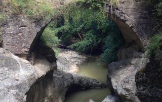
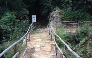
When approaching the “Pozzo Sfondato” you reach a junction with a path going to the right. Ignore this path on your right and continue straight on turning slightly to the left alongside a wooden fence until you come to an old bridge made of bricks.
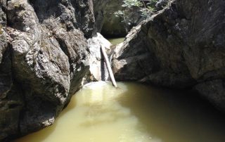
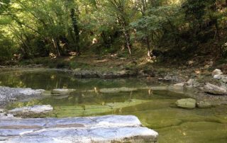
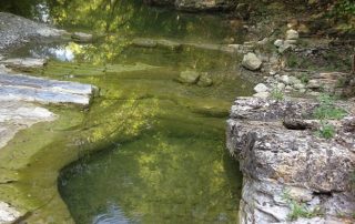
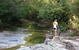
You’ve got the “Pozzo Sfondato”, a wild place where the Egola stream flowing over rocks forms small waterfalls. Here, over time, the water has carved wells and holes into the rock. This is the place where the inhabitants of Montaione used to came here to cool off on hot summer days.
After visiting the “Pozzo Sfondato” go back following the same path until you reach the junction where we left the main track.
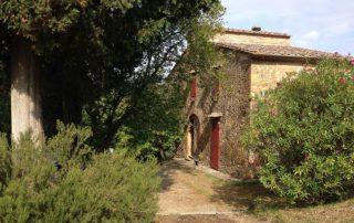
Then continue to ride for about 200 meters along a relatively flat road until you come again to the river Egola. Here turn left walking in the creek bed for about 20 meters and then take the path going up to the right. Continue to go uphill for about 50 meters, then the trail turns to the right and continue going up until you reach a house.
Then turn left – leaving the house on your right – and begin to descend, paying attention as the descent is quite steep.
At the end of the descent, the road turns left, then cross a bridge and begin going up a short climb.
At about half of this climb (km 2.4) you come to a fork in the road; the road on your right goes back (uphill) to Montaione, while we take the road going down to the left.
After about 100 meters, at the end of the descent you cross a small bridge over the river Egola, then follow the path on the left and begin to climb.
Here begins a very challenging climb of about 1.1 km that will test your climbing abilities. Those who are less trained probably will have to get off the bike.
At the end of this steep climb you will arrive at a farmhouse (Bosco Gucci). Here the gravel road becomes flat and after about 200 meters you will reach Via Cerroni. Turn then (km 3.8) to the left on the paved road towards San Vivaldo.
Continue to ride on the paved road slightly uphill for about 1.4 km until you reach the junction with the “Strada Provinciale delle Colline”.
Continue in the direction of San Vivaldo, pass the junction for Castelfalfi and take Via Ecce Homo, passing in front of the Chapel of the Ascension, which is part of the Holy Mount of San Vivaldo.
After about 2.3 km – close to a large curve to the right – you leave the main road and take the left road leading into the woods and follow the main path with the help of the white/red signs on the trees.
After about 1 km of ups and downs you reach a gravel road.
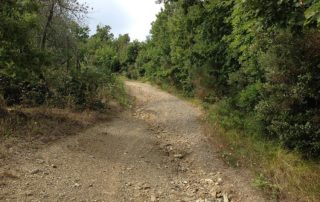
After a few hundred meters the road enters the forest continuing to go down until you reach a clearing where you come to a fork.
Here – even though the main road seems to continue to the left – take the right path and go downhill along a steep descent in the shade of the forest.
After about 800 meters you come at a junction where you take the path on the right, easily recognizable by a tree with the characteristic white/red sign.
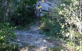
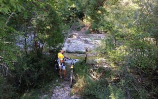
After about 100 meters, at the end of the descent, you come to Pozzolatino, a pristine place where the river Egola shows its crystal clear waters. Here we will have to walk down along a rock wall of a few meters high, being careful not to slip. After this you get the bed of the river Egola.
Keep walking on the bed of the river for about 50 meters until you take the narrow and steep path up to the right recognizable by the white/red sign. After this short but steep climb of 50 meters by foot, you can go back on your bike riding on the right bank of the river.
After a few meters you will come to a crossroad. Here, turn left until you reach another fork after a few meters where (instead of turning right), you continue straight on until you get again the river Egola.
Cross the river Egola and take the steep path that goes uphill in front of you. After about 100 meters you come to a fork in the road (km 1.4) where you turn right. From here, follow the path that will lead us after about 500 meters (km 1.9) onto Via Tre Ponti. Then turn right on the paved road heading towards Montaione.
After about 3.5 km you reach the junction with Via Leonardo Da Vinci and turn left. After about 700 meters (km 6.1) you will be back in Piazza Gramsci, the starting point.
