Project Description

Warning!
Ridemontaione.com invites you to discover the trails of Montaione accompanied by a local expert guide, a service that you can book by staying at our bike friendly farmhouse Belmonte Vacanze.
Thanks to our local expert guides you can enjoy a cycling adventure in complete safety and without any risk.
The trails described on the site may become impassable due to vegetation or soil erosion, therefore we invite you
not to venture alone on the trails of Montaione without an expert guide.
We invite you not to trust GPS tracks that you can find on the web.
Riding a bicycle in an area that you do not know and on trails that you have never ridden by trusting a GPS track is dangerous.
Ridemontaione is not responsible for accidents that may occur while following the suggested routes.
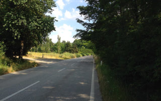


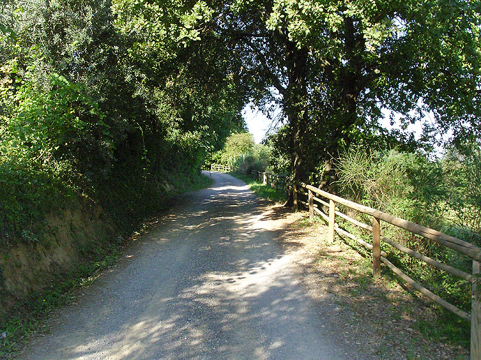
Start from the parking of the Holy Mount of San Vivaldo, turn left and get into Via Ecce Homo: a paved road slightly uphill.
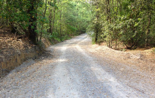
After 1.7 km you will reach the village of San Leonardo, leave the paved road and turn right into the gravel road.
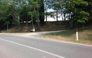
After about 50 meters you have to pass over a chain (well marked and visible), then take the path down to the left. From here, follow the main road, until, after about 700 meters, you come to a crossroad.
Turn left and continue for 300 meters until you come to a junction where you take the road to the right.
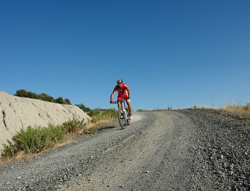
Here starts a long and wide downhill road which will invite bikers to enjoy the thrill of speed. However, we recommend to be very careful as this road is travelled by many trucks coming from a nearby quarry and it presents rainwater drains which are hardly visible and very dangerous because they can make you fall if you go too fast.
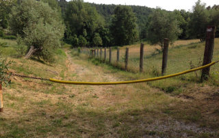
Furthermore, after about 500 meters you have to pay attention because you come to a chain crossing the road.
After passing the chain, continue downhill for 500 meters until you come to a barrier gate which closes the road near a transformer cabin.
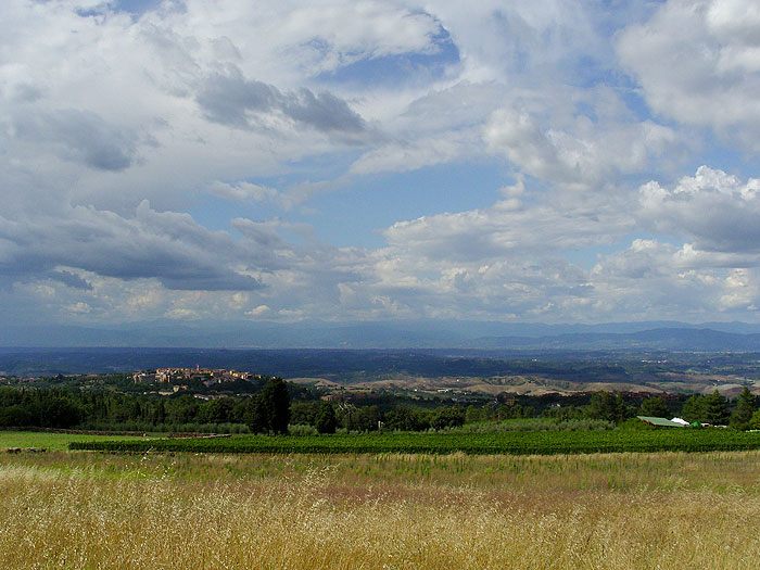
Pass the gate and continue for a few hundred meters until you reach the entrance gate of a quarry on our right while we continue to go down the path on the left enjoying the spectacular view over the hills of Pisa.
After about 600 meters, the gravel path ends and you reach the small village of Iano, where we can admire the pretty church of Sant’Andrea in Alliano.
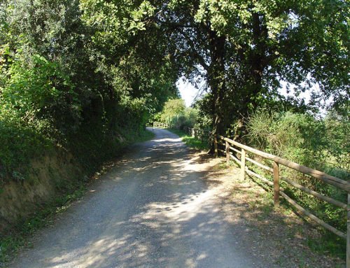
Here, turn right and ride through the village of Iano; then start to climb on paved road.
After about 600 meters, leave the paved road and turn left taking the path leading down to the cemetery of Iano. This point is well recognizable by a sign indicating the cemetery and by an iron cross placed under the plants.
After about a hundred meters in the nearby of the cemetery you pass a chain and continue going downhill, paying attention at the rocks that emerge from the gravel.
After about 300 meters leave the main road, turn right and ride for 500 meters until you reach Via di Camporena. Turn left and descend for 300 meters until you reach a house. From here, take the path on the right that goes down in the shade of the trees. After 200 meters you pass a gate and continue downhill until you get an old abandoned mill. Cross the ditch and take the path uphill in front of you, recognizable by the characteristic white and red signs painted on the trees.
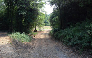
After a few hundred meters, where the road widens, take the left path and after 200 meters you reach a crossroad.
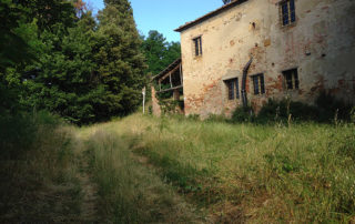
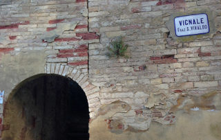
Here we take the path uphill to the right until you get the first buildings – now abandoned – of the Castle of Vignale.
This area is of great historical and cultural interest, as the castle already existed in 1138. Furthermore here is where the border between Florence and San Miniato passed and later passed the one between Florence and Pisa. And in 1338 here was signed the peace treaty between Florence and Volterra.
The castle was inhabited until the Second World War and it is still possible to admire the ramparts, the rectory, the church and its bell tower, as well as other small buildings.
After leaving the Castle of Vignale, go on riding uphill for 400 meters until you come to a group of cypresses. There take the road that goes down to the left.
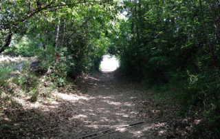
Continue to descend alongside the trees on our right until the road curves to the left and enter the woods.
After about 200 meters, leave the main road and take the steep path to the right. Continue for 300 meters until the path curves to the left and then ford – turning right – the Borro Stivaglia.
From here, take the path on the right rising slowly until you get, after 400 meters, a crossroad. Continue on the road turning to the left.
After about 800 meters, close to another junction, leave the main road and take the path on the right. After 100 meters turn left near a lattice tower.
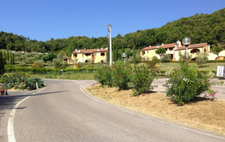
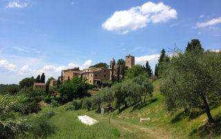
Go on riding uphill for about 500 meters until you reach the paved road where you turn left. Now ride downhill for about 2 km until you get Castelfalfi where it is worth making a short stop and visit this ancient village, the pretty church of San Floriano and the magnificent fortress of the castle overlooking one of the most beautiful views of the whole area.
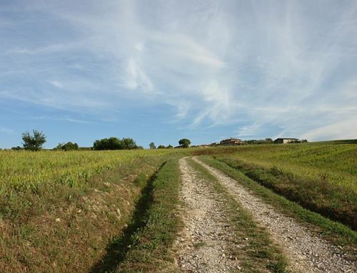
After recovering the energy, leave the village of Castelfalfi and after 200 meters, near a small church located on the edge of the road, take the gravel road on the right. Follow the main road and go down towards the valley of the river Carfalo. After 500 meters you come to a farm house. Continue downhill for 600 meters, alongside a vineyard. From here, looking to the right, you can admire the ancient village of Tonda.
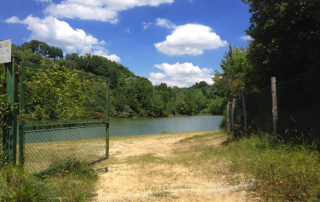
When you reach the end of the descent, cross the river Carfalo and take the path on the left, starting to climb. After 500 meters you will reach the lake of Tonda.
From here, turn right and take the road downhill, then, after about 200 meters, leave the main road and take the path on the left that slips under some plants. This point is also recognizable by a wooden fence.
Here begins a real climbing that, although very short (only 100 meters), it is impossible to do by bike because of the slope and the presence of several steps. This road will take you straight to the village of Tonda.
At the first junction turn right and after 10 meters turn left continuing uphill alongside the fence on our left.
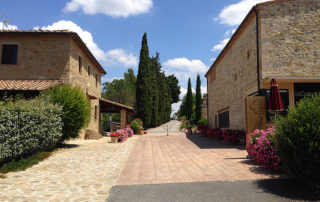
After a few meters you arrive in front of a house. There turn right and follow the gravel road uphill until you get to the centre of the village of Tonda (now completely restored and turned into a holiday residence) where you can admire the characteristic bell tower and an ancient tower.
Leave the village of Tonda, turn right and continue riding for about a kilometre on a paved road slightly uphill until you come to a junction in Castellare.
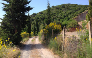
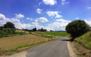
At the junction continue straight on Via Cerroni, slightly uphill, from where you can enjoy a fantastic panorama of vineyards, olive groves and rows of cypress trees.
After about 2.1 km, where the road enters the wood, turn right and take the gravel path. After about 100 meters, at the first junction, take the path that goes uphill on the left and after riding for 200 meters, at the second junction, follow the path to the right. (identified by a sign which reads “Sentiero del Bosco Ameno”).
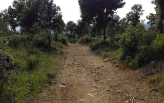
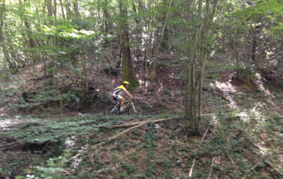
Here begins a pleasant ride of 1.2 km on single trail in the green and the quiet in the shade of oaks until you come to a crossroads. Then take the left path and go uphill for about 200 meters until you come back again on the paved road (via Cerroni). Then turn right.
After a hundred meters, where the road widens, leave the paved road again, turn left and then turn right taking the path downhill penetrating into the forest of the “Corbezzolaia.”
Continue riding in the shade of the wood for about 1.2 km until you arrive at a crossroad. From here, follow the main path turning to the left.
After 300 meters, near a widening, take the path on the right and continue for 200 meters until you get back on the paved road (Via Cerroni) where you turn left.
Continue for 300 meters and then turn right on Via Tre Ponti. After 1.2 you will get back to the starting point.