Project Description

Warning!
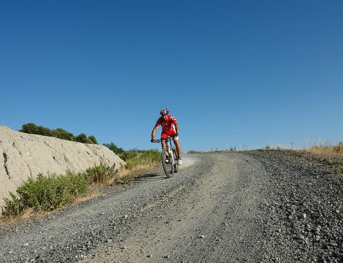
Ridemontaione.com invites you to discover the trails of Montaione accompanied by a local expert guide, a service that you can book by staying at our bike friendly farmhouse Belmonte Vacanze.
Thanks to our local expert guides you can enjoy a cycling adventure in complete safety and without any risk.
The trails described on the site may become impassable due to vegetation or soil erosion, therefore we invite you
not to venture alone on the trails of Montaione without an expert guide.
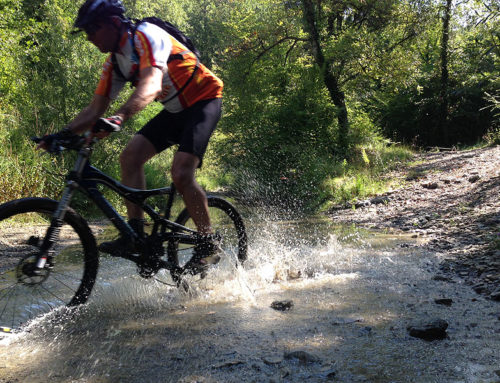
We invite you not to trust GPS tracks that you can find on the web.
Riding a bicycle in an area that you do not know and on trails that you have never ridden by trusting a GPS track is dangerous.
Ridemontaione is not responsible for accidents that may occur while following the suggested routes.
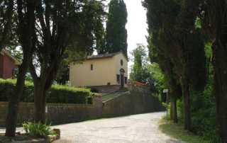
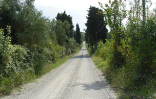
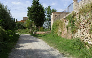
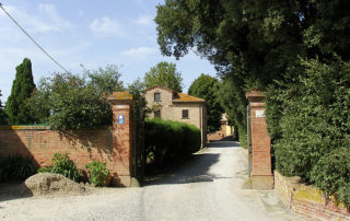
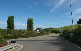
Follow the directions of the Ring “La Sughera” until the junction for Collegalli where you turn right. The road remains flat and after 800 meters you will reach the church of San Vito that you can see on your right, then the road bends to the left near a farmhouse and then arrives at the entrance of the Villa of Collegalli.
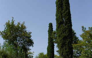
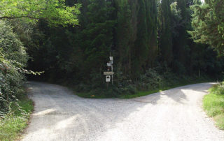
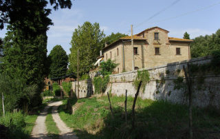
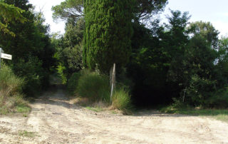
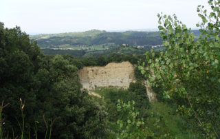
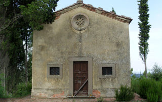
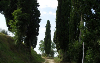
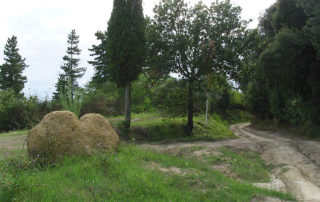
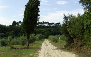
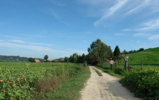
From here, turn left and go along the back of the Villa of Collegalli until you come to a junction with three roads. Take the road to the right, the one downhill, leaving a cypress tree on the left marked with the distinctive red and white sign. Follow the main route among short ups and downs, then you will come to a junction where you can see a typical cypress located in a raised position. Here you must take the uphill road on the left and on the right you can see some “badlands” and in the distance, looking back, the Villa of Collegalli. After 400 meters, on the left, you can see a small path that leads to Chiesino of Collegalli.
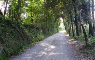
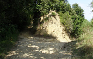
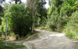
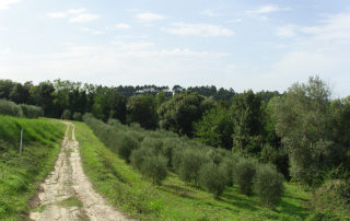
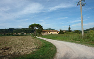
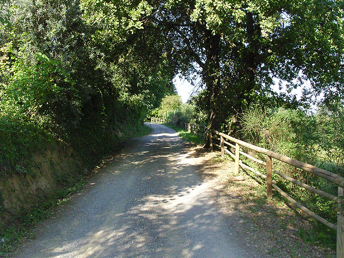
Continue on the main path slightly uphill until you come to an old rural house that you will see on the left. From here continuing to ride on the main path you will begin a gentle descent along a fence to the right and on some trees to the left you can see the red and white signs that indicate that you are on the right path. The road continues on a tuff ground that in some stretches is eroded because of the water that flows during rainy days. The road then turns left until you get to two large cypress trees (one of which is marked in red and white) that you leave on the right. Continue until the road turns to the right until you reach a junction.
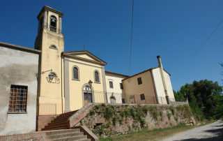
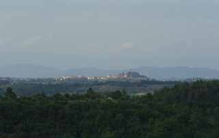
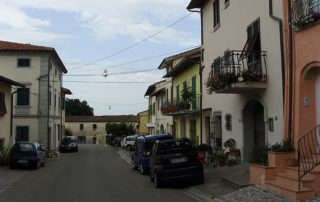
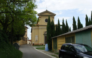
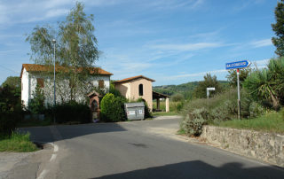
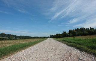
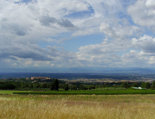
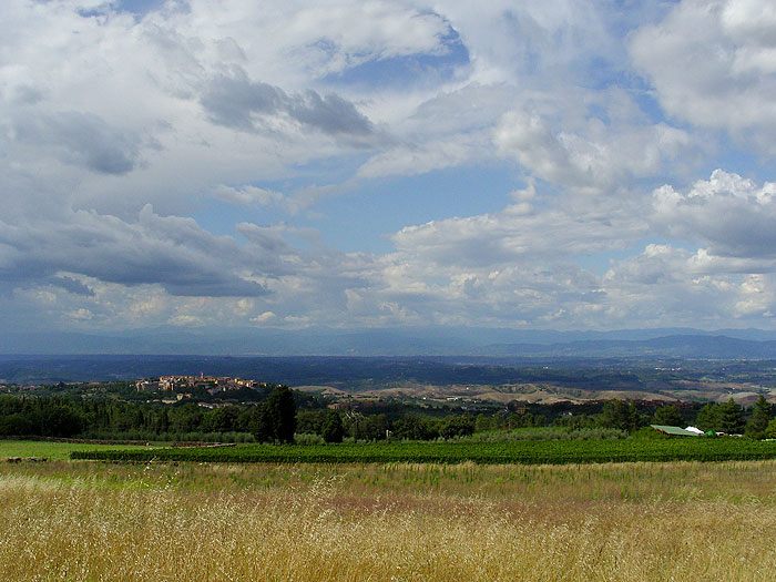
Here, take the road on the right while on the left notice a cypress with the white / red sign, and start a short and slightly ascent. Then the road is flat, the vegetation thins out and you can see a magnificent view in the distance of the village of San Miniato. Continue on the main path in front of you noticing a pine forest at the top. Shortly after you will reach the first houses of Balconevisi and get on the road Via Buecchio. After about 400 meters you will reach the center of the small village of Balconevisi, and after stopping to admire an attractive church, begin the descent on Via Balconevisi for about 1.5 km until you reach a junction where in front of you, you will notice a small tabernacle. Here turn right onto Via Fornacino – a flat road on asphalt ground – and continue for 1.4 km until you reach the junction with Via Egola.
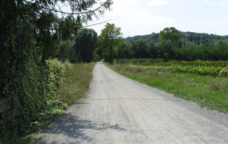
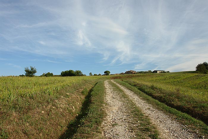
Continue going straight on Via Fornacino on an asphalt ground. After about 400 meters the road – which here is called Via Forni – becomes a gravel road and you go through fields that are cultivated in Summer with sunflowers and corn. Continue on the main road through a gate, and pass near some houses. Then you will meet an old abandoned building, which perhaps was once used for agricultural activities. After about 1 km you will enter Via Collegalli turn right to return to the starting point near the old cypress.