Project Description
Warning!
Ridemontaione.com invites you to discover the trails of Montaione accompanied by a local expert guide, a service that you can book by staying at our bike friendly farmhouse Belmonte Vacanze.
Thanks to our local expert guides you can enjoy a cycling adventure in complete safety and without any risk.
The trails described on the site may become impassable due to vegetation or soil erosion, therefore we invite you
not to venture alone on the trails of Montaione without an expert guide.
We invite you not to trust GPS tracks that you can find on the web.
Riding a bicycle in an area that you do not know and on trails that you have never ridden by trusting a GPS track is dangerous.
Ridemontaione is not responsible for accidents that may occur while following the suggested routes.
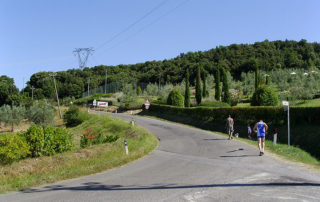
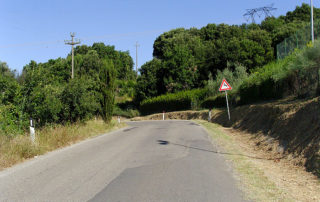
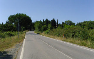
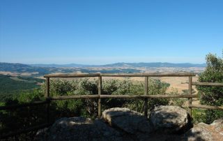
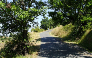
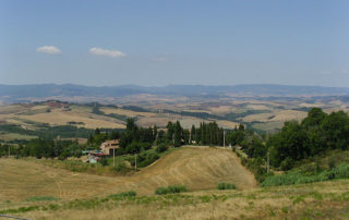
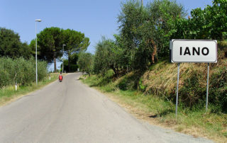
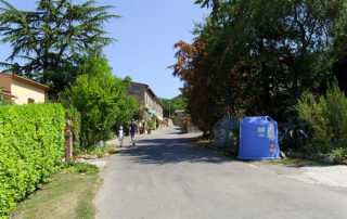
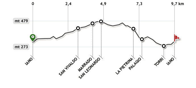
Start from Iano towards San Vivaldo, the paved road begins to go up slightly along the woods on the right and on the left you can already admire a wonderful panorama over the Tuscan hills. After about 400 meters the road starts to descend until you reach the entrance of a stone mine. From here you will start to go up again (in Summer if you decide to ride in the morning you will climb in the shade of the trees).
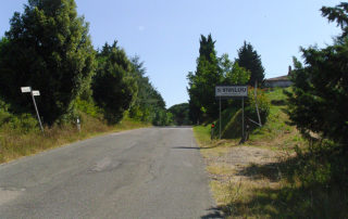
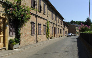
After about 6/700 meters the ascent becomes steeper and after a further 6/700 meters you will reach the village of San Vivaldo. After the residential area of San Vivaldo on a flat stretch needed to catch your breath you will reach a junction in front of you where you can see the Chapel of the Ascension and next to it the entrance to the Holy Mount of San Vivaldo. Here you turn right onto Via Ecce Homo. After about 1.5 km of slight ascent on the right begins the section for the alternative routes, “Pian delle Querce” and soon after “La Cava”.
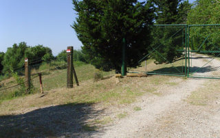
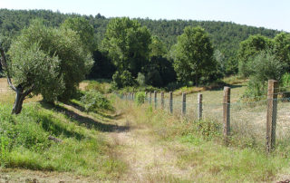
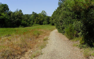
Continue for another 200 meters and you will arrive at San Leonardo, then leave the paved road and turn right for a short stretch of gravel road and then after about 30 meters, reached a gate, turn left past a chain. Here begins the downhill path through the vegetation that in Summer can cause some problems because of the briars that invade the path. After 200 meters the path turns right and runs along a forest on the right while on the left there is an overgrown field.
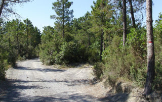
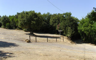
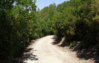
It is a road used by loggers to clear the land, so be sure to follow the main path and directions as the secondary paths could have no ground. After another 300 meters you come to a junction where you meet a pine tree (on the left) with red and white stripes to indicate that you are on the right path. Then turn left onto a gravel road, very dusty and slightly gravelly, among the pines and the Mediterranean scrub. After 180 meters there is a small junction where we turn right. After a few meters you will come across another junction and although the main road seems to go right, you keep the left instead.
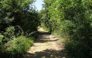
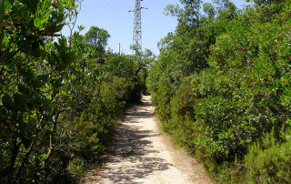
The road narrows among the vegetation on a stony ground and with holes dug by the water when it rains, on the left in the valley you should catch a glimpse of two lakes. As you progress on the path, always check on the right or left the trees marked in white and red to indicate that you are on the right track. After about 200 meters there is a small junction, turn right and continue on the path and begin a short ascent of about 100 meters on a stony ground, then begins a descent on a gravel ground for about 700 meters until you pass in front of an electricity pylon and you will get to the car park of the sanctuary of Pietrina that is worth visiting. From here, turning right, begins a very steep descent whose first stretch is a gravel road and that will take you back to Iano.
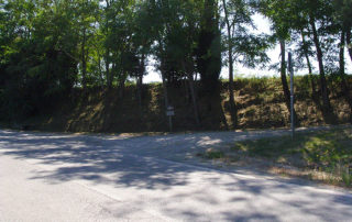
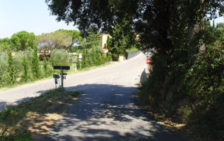
After 350 meters the descent always very steep continues for another 300 meters on asphalt until you reach a junction where on the left you can see the village of Palagio, while you turn right and continue downhill on the paved road until you reach the junction where you will enter turning right onto Via Torri.
From here go up to Iano (on the way up, after about 200 meters on the right you can see a ridge of stone with dots colored in yellow indicating the presence of sulfur). Near the town of Iano the ascent is quite steep until you reach the center of the village with the pretty church of Sant’Andrea in Alliano and shortly afterwards a restaurant and a bar. After passing the village of Iano take a small ascent to get to the starting point: the car park of Iano.
